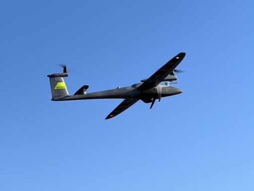
When precision meets innovation, you get Wingtra Drones—a game-changer in aerial mapping and surveying. Engineered in Switzerland, Wingtra Drones are designed for professionals who demand accuracy, efficiency, and reliability in their geospatial data collection.
What sets Wingtra Drones apart? It’s their unique VTOL (Vertical Take-Off and Landing) capability. Unlike traditional fixed-wing drones, Wingtra takes off and lands like a multirotor, making it ideal for challenging terrains and confined spaces. Once airborne, it transitions to efficient fixed-wing flight, covering large areas faster than most drones on the market.
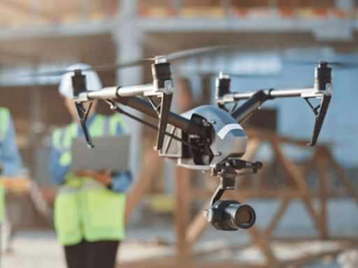
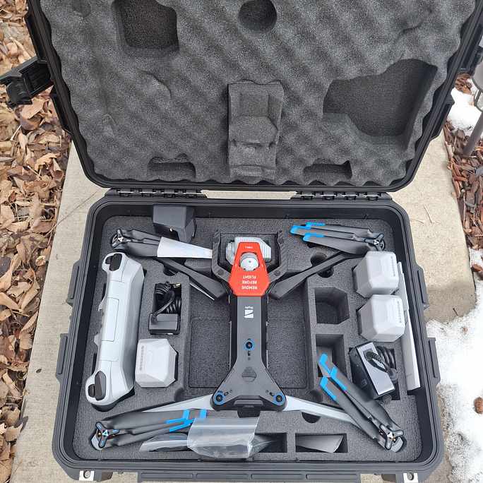
Whether you're in construction, mining, agriculture, or environmental monitoring, Wingtra Drones deliver survey-grade accuracy with up to 1 cm absolute accuracy and high-resolution imagery. Their payload flexibility supports cutting-edge cameras like the Sony RX1R II, enabling ultra-precise 3D mapping and photogrammetry.
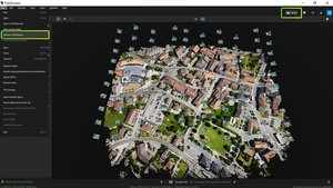
Another standout feature? Ease of use. WingtraPilot software makes mission planning simple, with automated flight paths and data collection—saving time and reducing human error.
Environmental responsibility is also at the core of Wingtra’s mission. Their drones reduce the carbon footprint of traditional surveying methods while ensuring safe, contactless data collection.
Ready to take your mapping to the next level? Explore Wingtra Drones today and experience precision redefined.


Write a comment ...