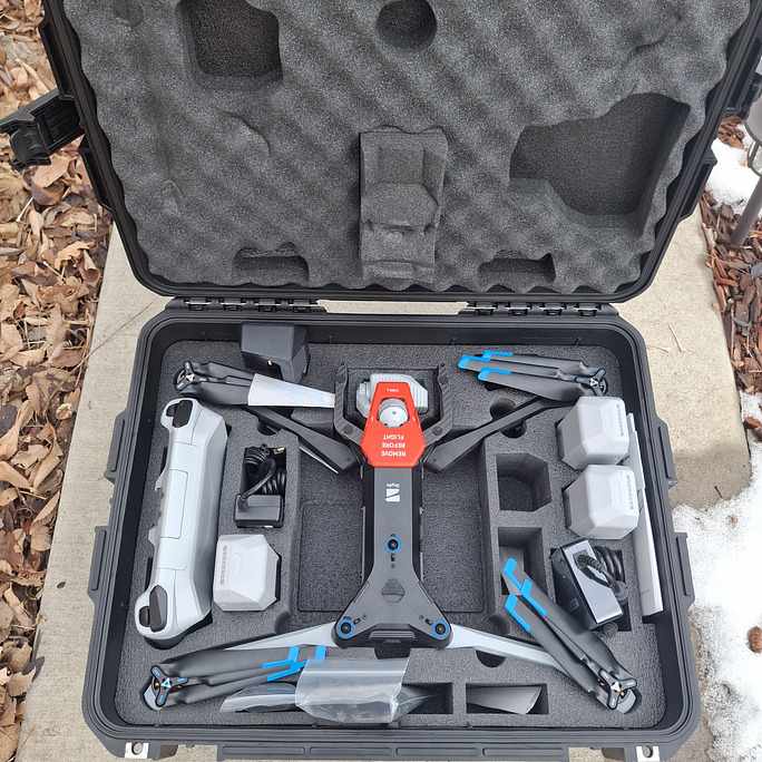
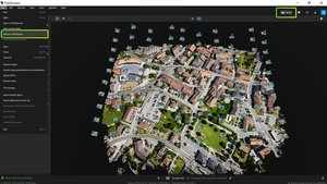
Revolutionizing Aerial Surveys with Skydio Mapping Drones
In the world of aerial surveys and inspections, accuracy and efficiency are critical. Skydio mapping drones are transforming the way industries approach mapping, providing unparalleled autonomy and precision. Unlike traditional drones that rely heavily on manual piloting, Skydio mapping drones feature advanced AI-powered obstacle avoidance and autonomous flight capabilities. This means they can navigate complex environments, such as construction sites, power lines, and dense urban areas, with minimal human intervention.